
GI Science & Technology


GI Science & Technology
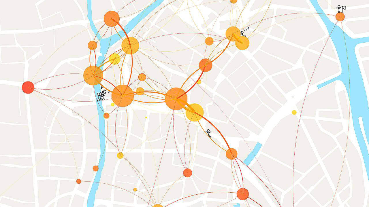
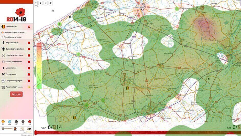
"GI Science & Technology" focuses on geographical information because it underpins cartography and geographical information sciences.
The GI Science & Technology research unit carries out research using modern methods and the development of innovative technologies in multidisciplinary projects in cartography and GIS.
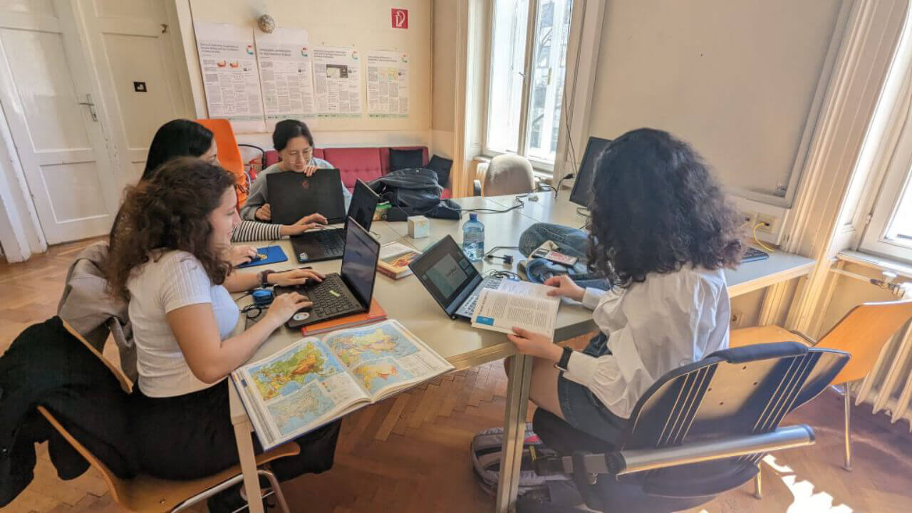
Team
The GI Science & Technology team is led by Professors Van de Weghe and Huang. Together, they manage a professional and closely collaborating team of researchers, PhD students and staff, each with their own expertise and know-how.
In the spotlight
Academic
output
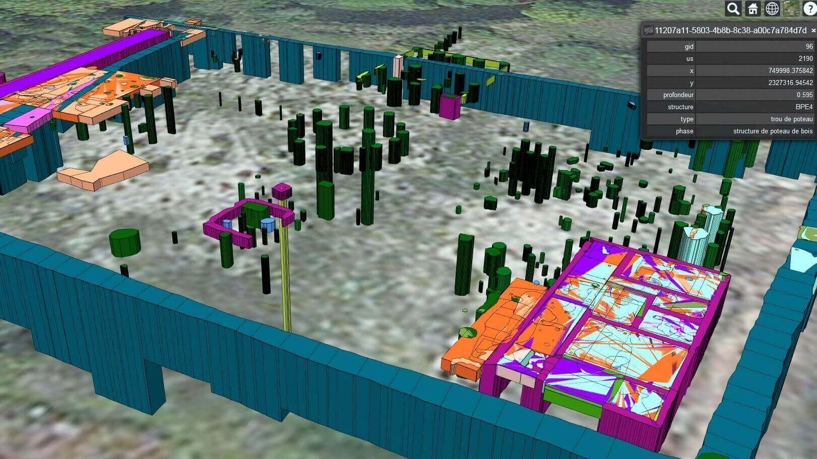
The GI Science & Technology research unit produces numerous publications in major scientific journals and delivers several PhDs every year.
Furthermore, the team collaborates on several national and international projects that are highly regarded in academia.